The program can render big terrain data on desktop and the Monash CAVE2 using tessellation shaders. Other data (weather, image, job, population…) can be displayed on the terrain.
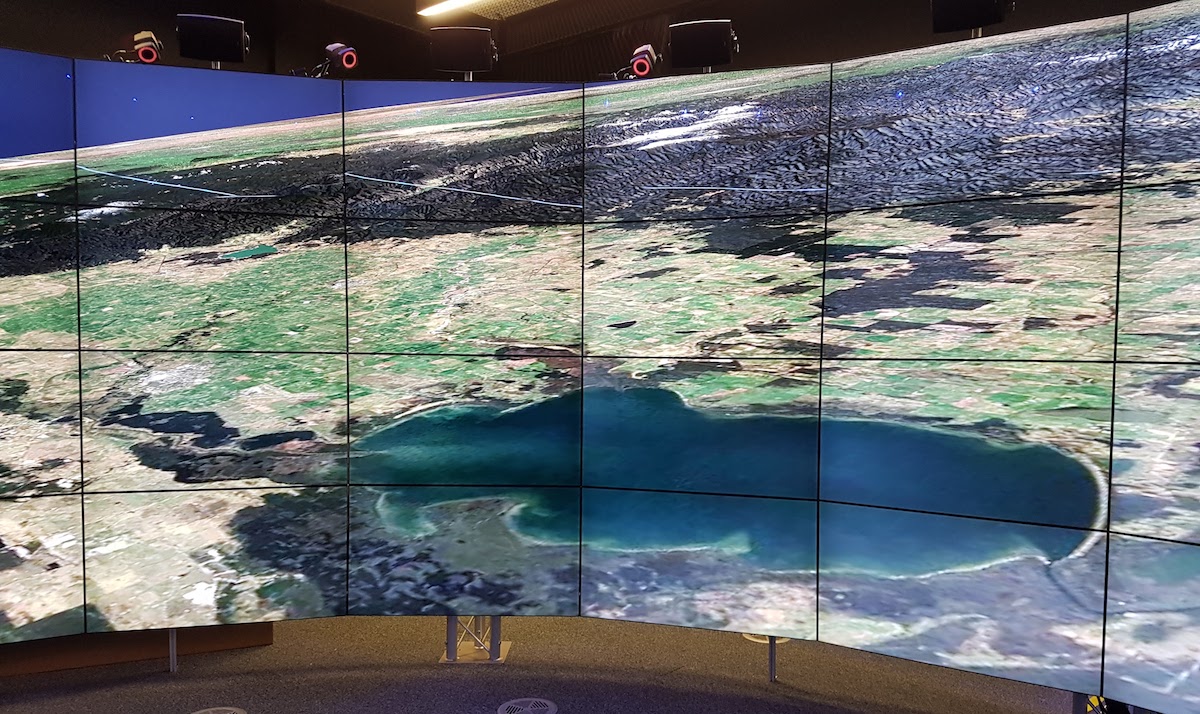
Visualise VIC DEM
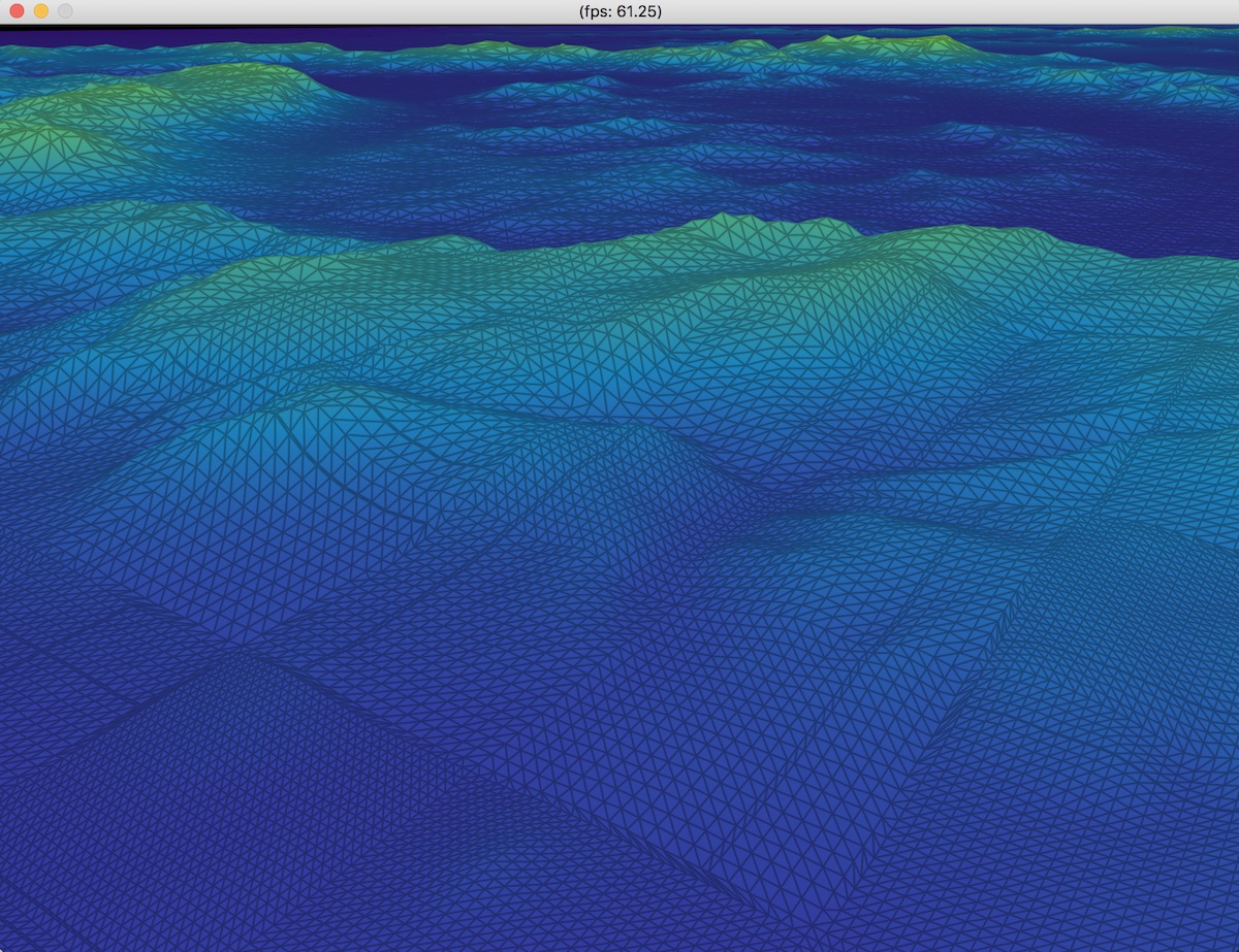
Colormap and wireframe display mode
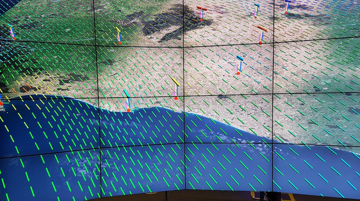
Overlay weather data
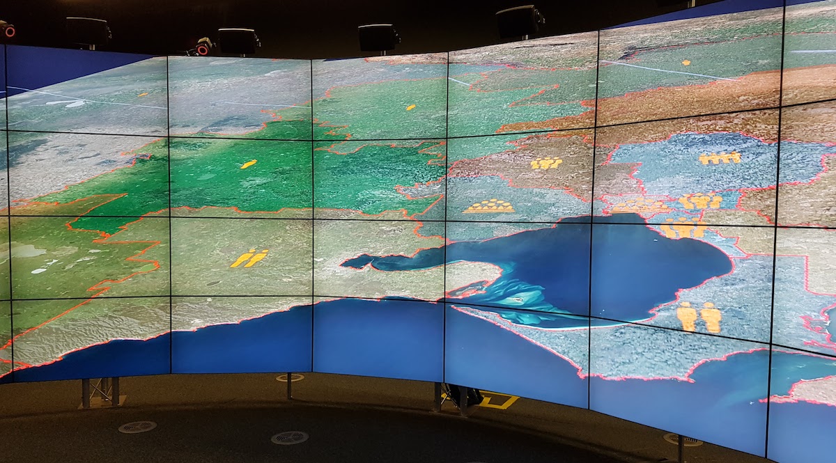
Overlay SA4 job data